Latest news
The State of the Derwent Report launch shows great progress in parts of the estuary
Mon 20 Apr 2026
The Derwent Estuary Program is a partnership between state and local government, industry and the community to be the voice of the Derwent. We work together to understand the Derwent Estuary, use science to enhance and protect its values and inform and involve the whole community.
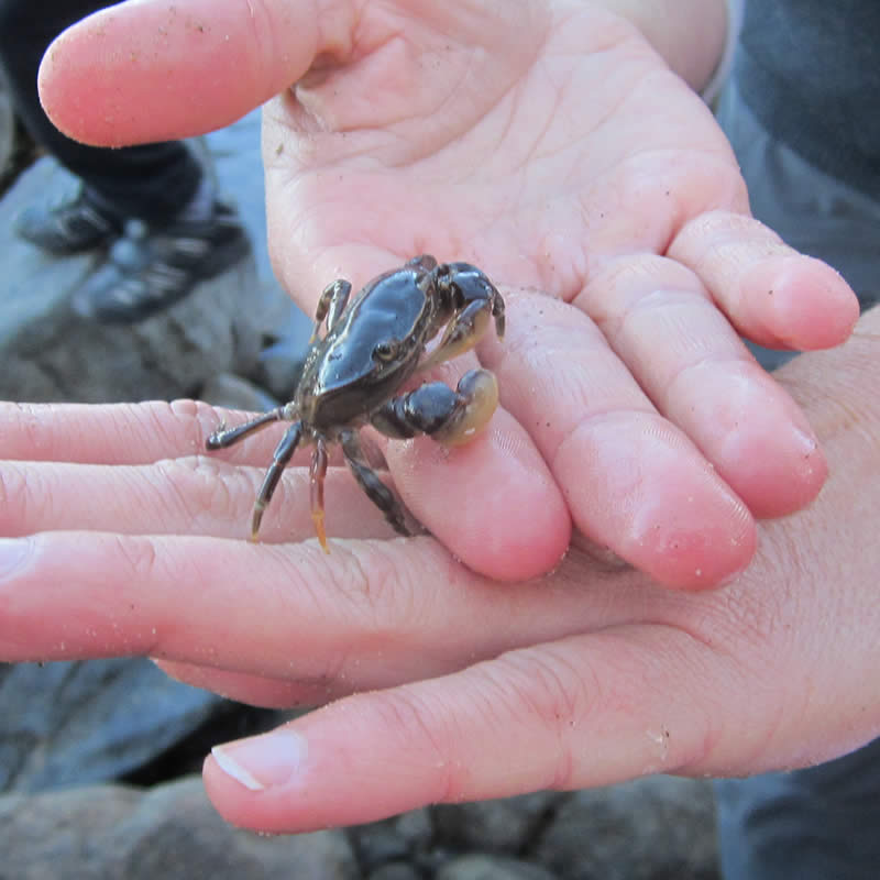
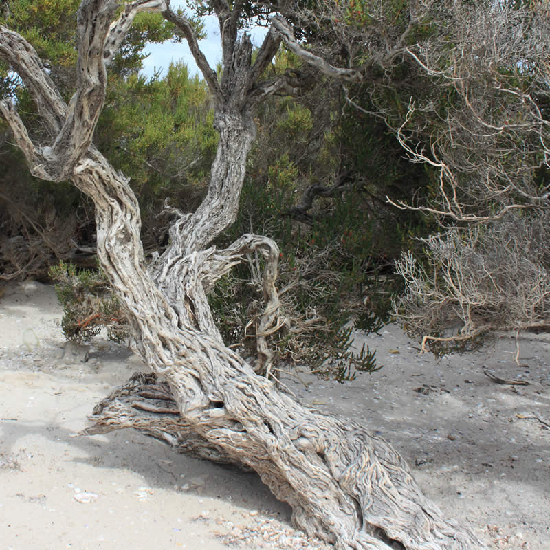
The Derwent Estuary, located in southern Tasmania, Australia, extends from the rural river town of New Norfolk south to the Iron Pot lighthouse. The estuary is a unique environment – a partially enclosed body of water where tidal seawater and fresh river water mix. The sheltered waters of the estuary support unique habitat and species specifically adapted to life in this environment.


Mon 20 Apr 2026
Our own DEP ecologist Ellie Green has been collaborating with three others on a fascinating arts and science project in service of our…
Mon 20 Apr 2026


Our vision is to be the voice of the Derwent. Our purpose is to work together to understand the Derwent Estuary system, use science to enhance and protect its values, and inform and involve the whole community in this process.
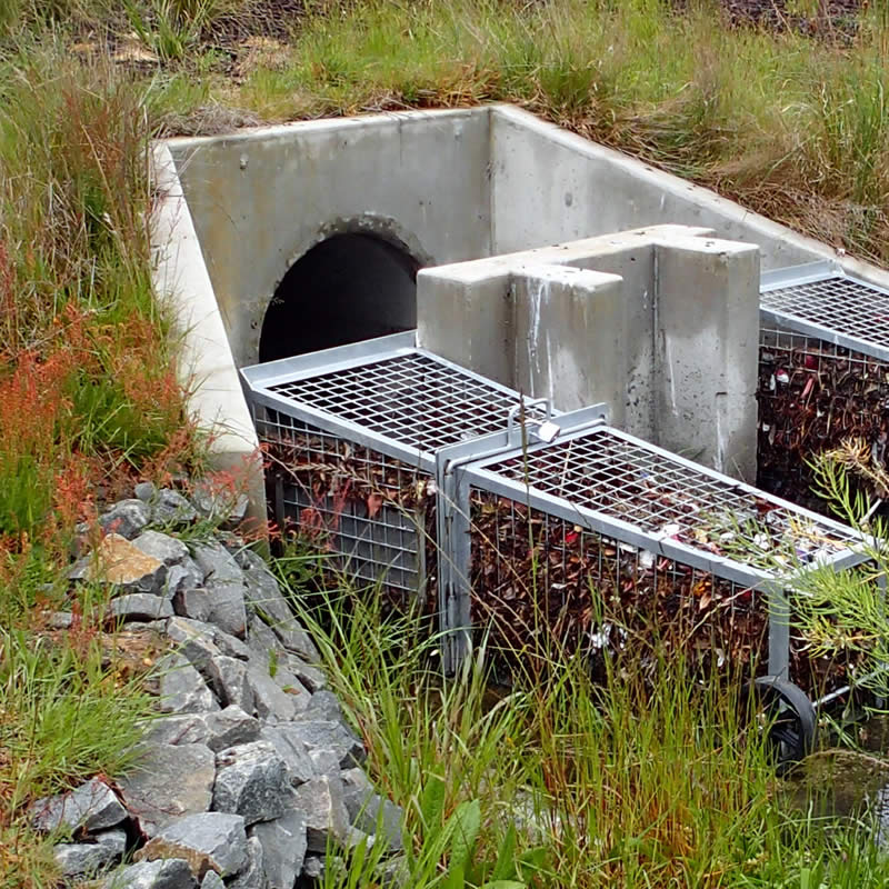
We conduct regular water quality monitoring through our Beach Watch program. We work with the community to reduce litter. We monitor heavy metals in the Derwent, provide resources relating to stormwater and encourage water sensitive urban design. We have also developed a range of educational resources focused on key estuary habitats and species.


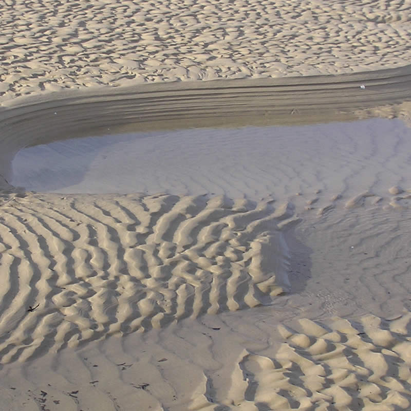
Hobart area residents are fortunate to have easy access to a variety of safe, sandy beaches within 20 minutes of the CBD.


The Derwent estuary supports extensive recreational fishing activities, as well as being an important regional fishing port.


There are a range of walking, cycling, mountain biking and horse riding tracks in the Derwent Estuary region.

The Derwent Estuary has a very active sailing community with hundreds of yachts moored at various docks.
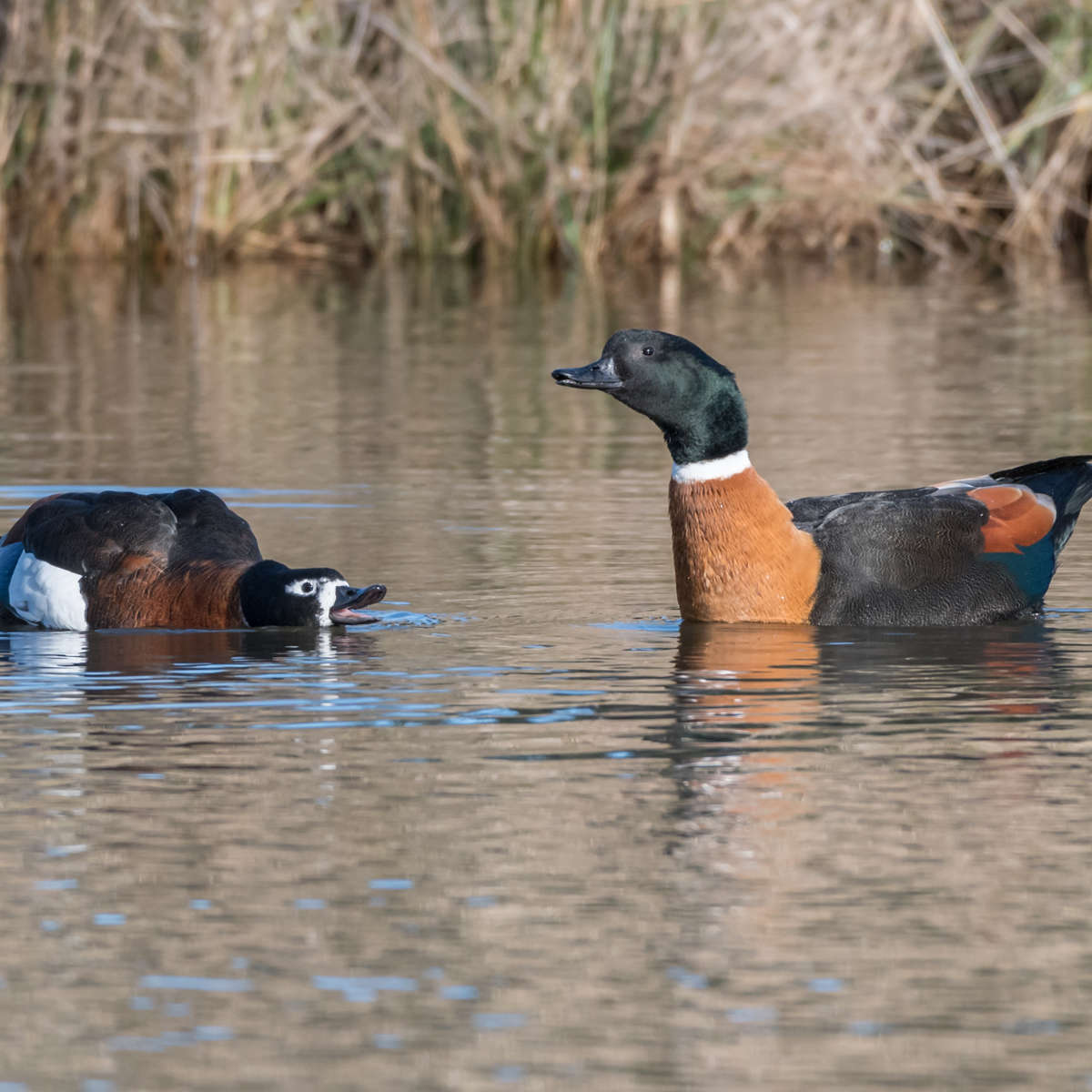
Tasmania is home to 11 beautiful native ducks, and many of them regularly visit the Derwent Estuary.