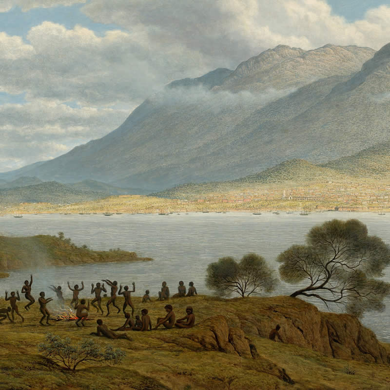
Timtumili minanya, the Derwent Estuary, is a significant cultural landscape for Tasmanian Aborigines. It has been a central living place and route between the coast and hinterland for around 40,000 years.
The Derwent Estuary extends from the rural river town of New Norfolk south to the Iron Pot lighthouse. The estuary is a unique environment: a partially enclosed body of water where tidal seawater and fresh river water mix. The sheltered waters of the estuary support unique habitat and species specifically adapted to life in this environment.
What we call the Derwent Estuary was formed between 6,500 and 13,000 years ago when the sea level rose, flooding a river valley.
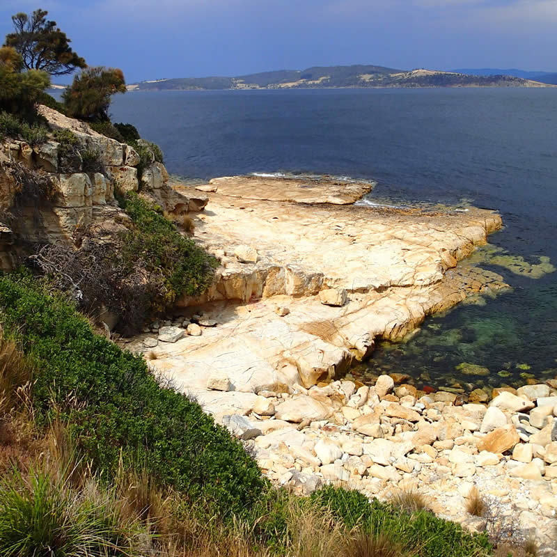
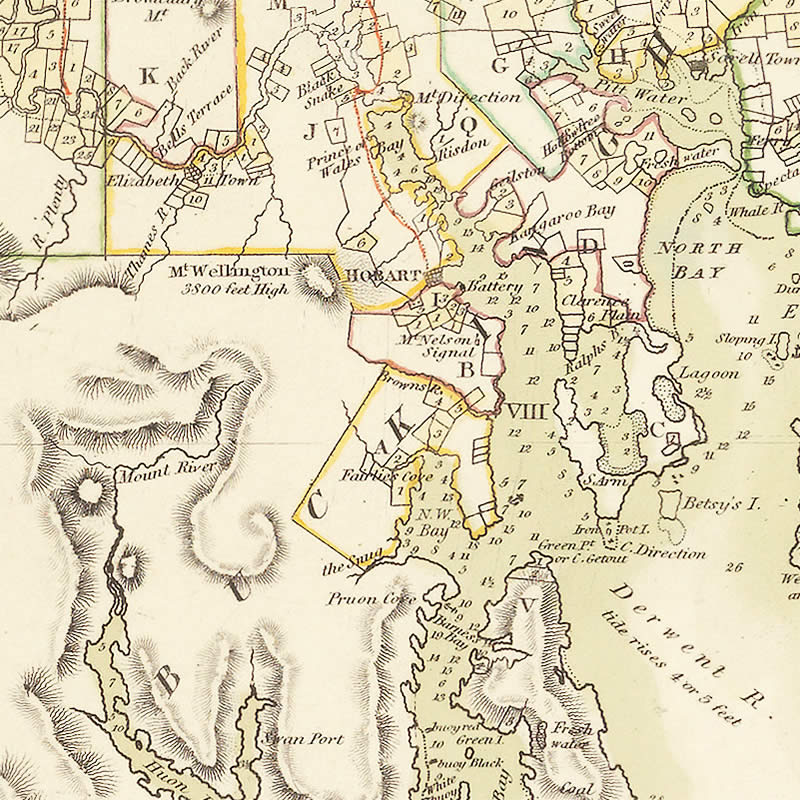
Today, wetlands and shallow mud flats dominate the upper Derwent Estuary, north of the Bowen Bridge. The middle estuary has a convoluted shoreline with numerous small bays and inlets. Below the Tasman Bridge there is a single large bay – Ralphs Bay – to the east, and on the west a relatively straight shoreline lined with cliffs and beaches.
There are 19 conservation reserves around the Derwent Estuary, including:
Timtumili minanya, the Derwent Estuary, is a significant cultural landscape for Tasmanian Aborigines. It has been a central living place and route between the coast and hinterland for around 40,000 years.
We publish a comprehensive State of the Derwent Report every five years as well as more frequent Report Cards, summarising the previous year’s data.
The Derwent Estuary Program publishes a range of material including newsletters, reports, fact sheets, and planning documents.
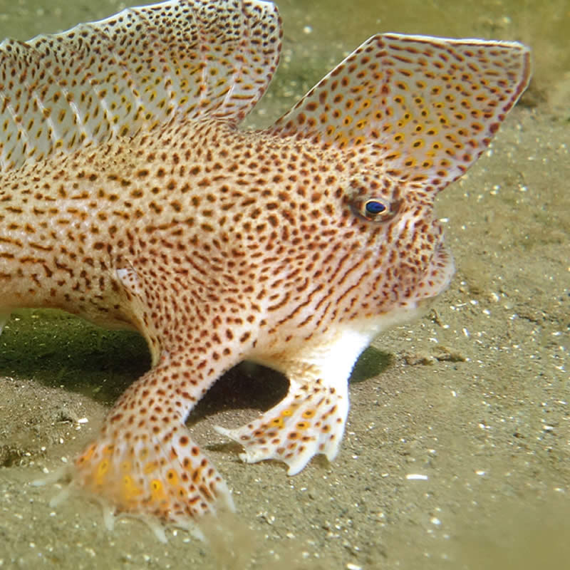
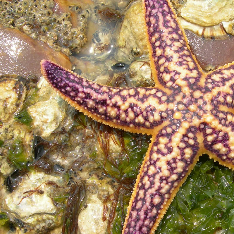
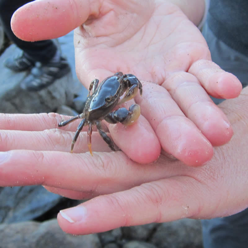
A variety of unique communities of plants and animals live in the Derwent Estuary, specially adapted for life between land and sea.
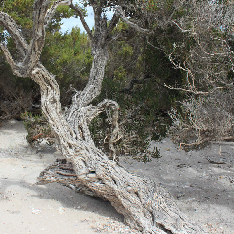
Many species depend on the wetlands, seagrasses, tidal flats and rocky reefs of the Derwent estuary.
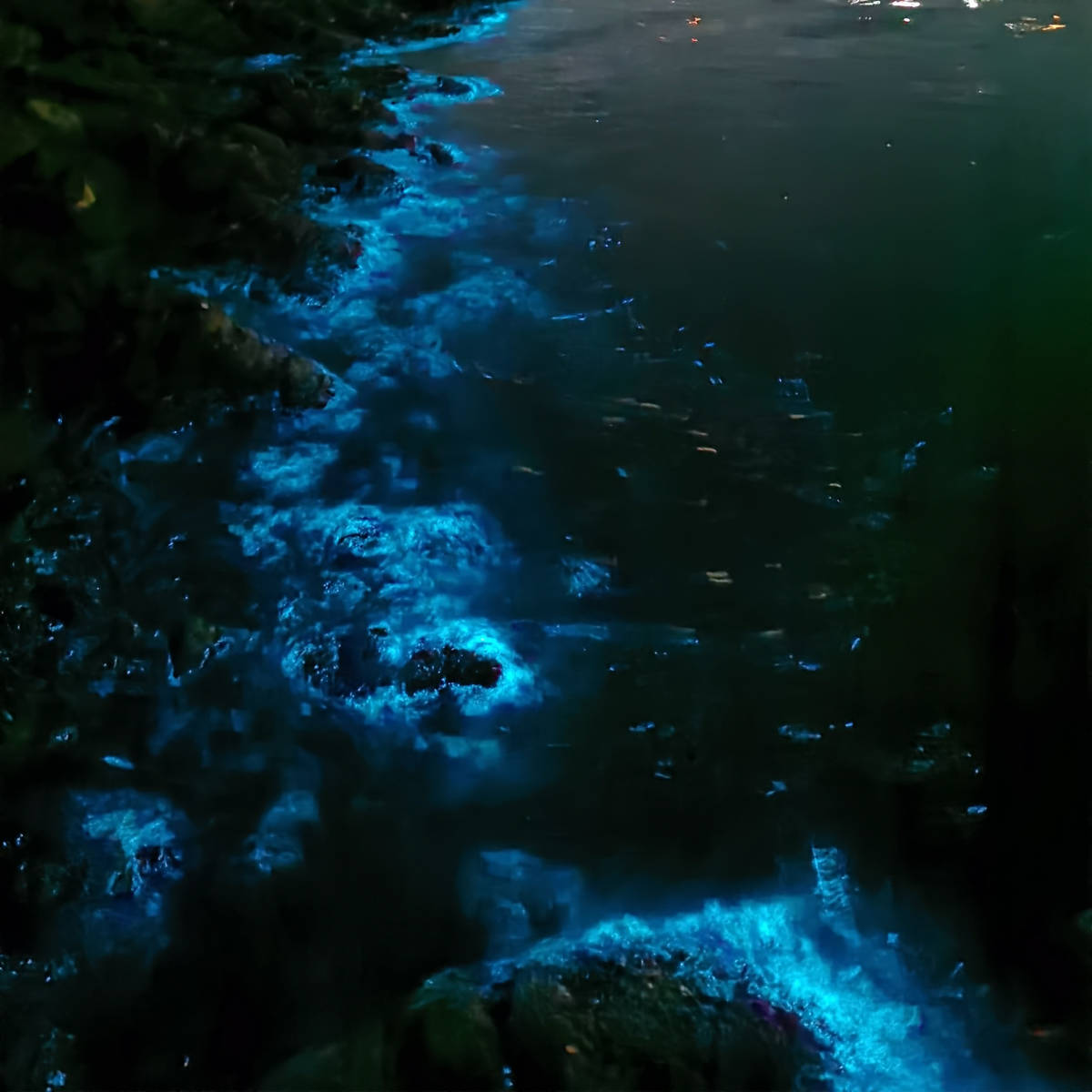
Is that pollution in the Derwent Estuary? Sometimes natural occurrences can be confused with pollution events. Here are some examples of the natural occurrences we see in the estuary. How many have you seen?
Marine pests and weeds pose a serious threat to the ecology of the Derwent Estuary.
We have developed a range of activities focused on key estuary habitats, with support from the Australian Government’s Caring for Our Country.

With stunning views, gathering areas, and various birds and animals to watch, Windermere Bay is a favourite place for everyone to walk, sit, reflect, and enjoy, whether it’s with family and friends, both human and furry!