Timtumili minanya is the palawa kani name for the Derwent Estuary. Palawa kani is the reawakened language for Tasmanian Aborigines, revived through extensive linguistic and historical research by the Tasmanian Aboriginal Centre. Previously, the Aboriginal names for the River Derwent came from G.A. Robinson’s records from the 1830s, where he attempted to give his idea of their sound by dividing words into syllables. The names for the Derwent were noted as: TEETOOMELE MENENNYE, RAY. GHE.PY.ER.REN.NE and NIB.BER.LIN.
In 1793 British Captain John Hayes entered the estuary and named it the River Derwent – which means ‘clear water’. This name held despite the French expedition led by D’Entrecasteaux, which had explored and named the area La Rivière du Nord just two months before.
Following settlement at Sullivans Cove in 1804, the British began to make their mark on the estuary. The first ferry crossing was established in 1814 and 24 years later the first Tasmanian built vessel set sail for London laden with colonial produce.
The environmental toll of the initial exploitation of the estuary was brought to a head in 1856 when the last whale was seen and harpooned, bringing the previously thriving whaling industry to an end. It took almost 100 years for whales to begin to return.
Big industry arrived in the estuary in 1917 with the establishment of an electrolytic zinc smelter at Risdon, and in 1941 a paper mill was opened up the river at Boyer.
In 1975 the population of the estuary was shaken by the collapse of the Tasman Bridge following a collision by the ship named the Lake Illawarra. Twelve people died and transportation across the Derwent was cut.
Today over 200,000 people – 41% of Tasmania’s population – live around the estuary. Numerous cultural heritage sites line the foreshore.
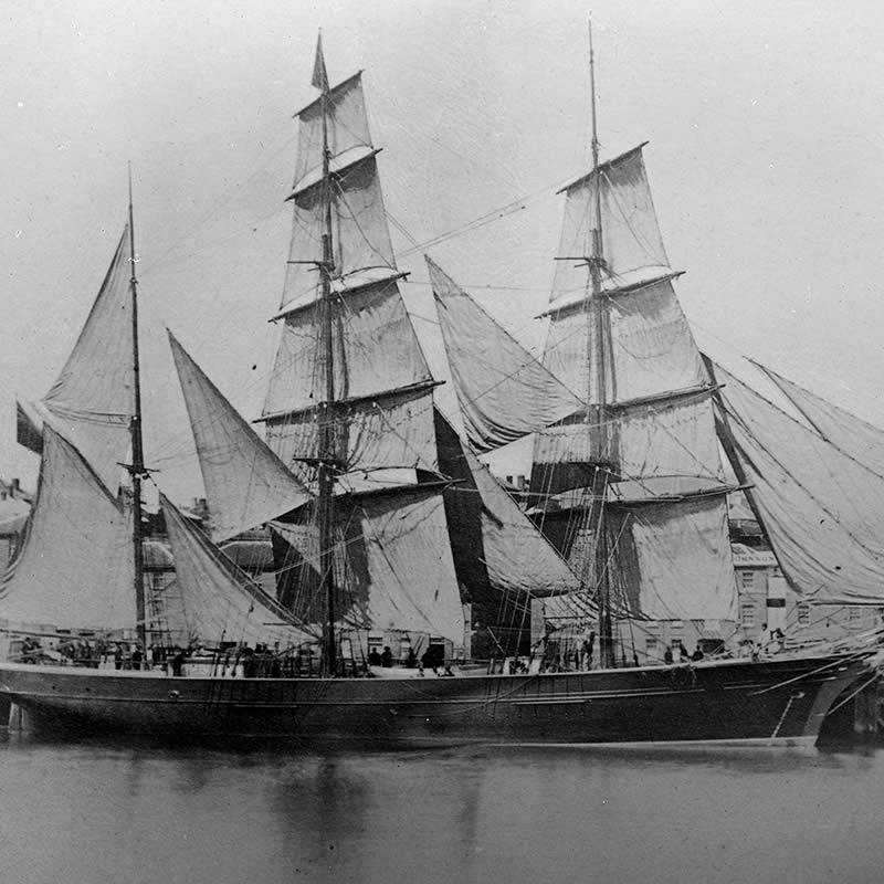
Harriet McGregor (ship, 1870).
Image: State Library of Victoria
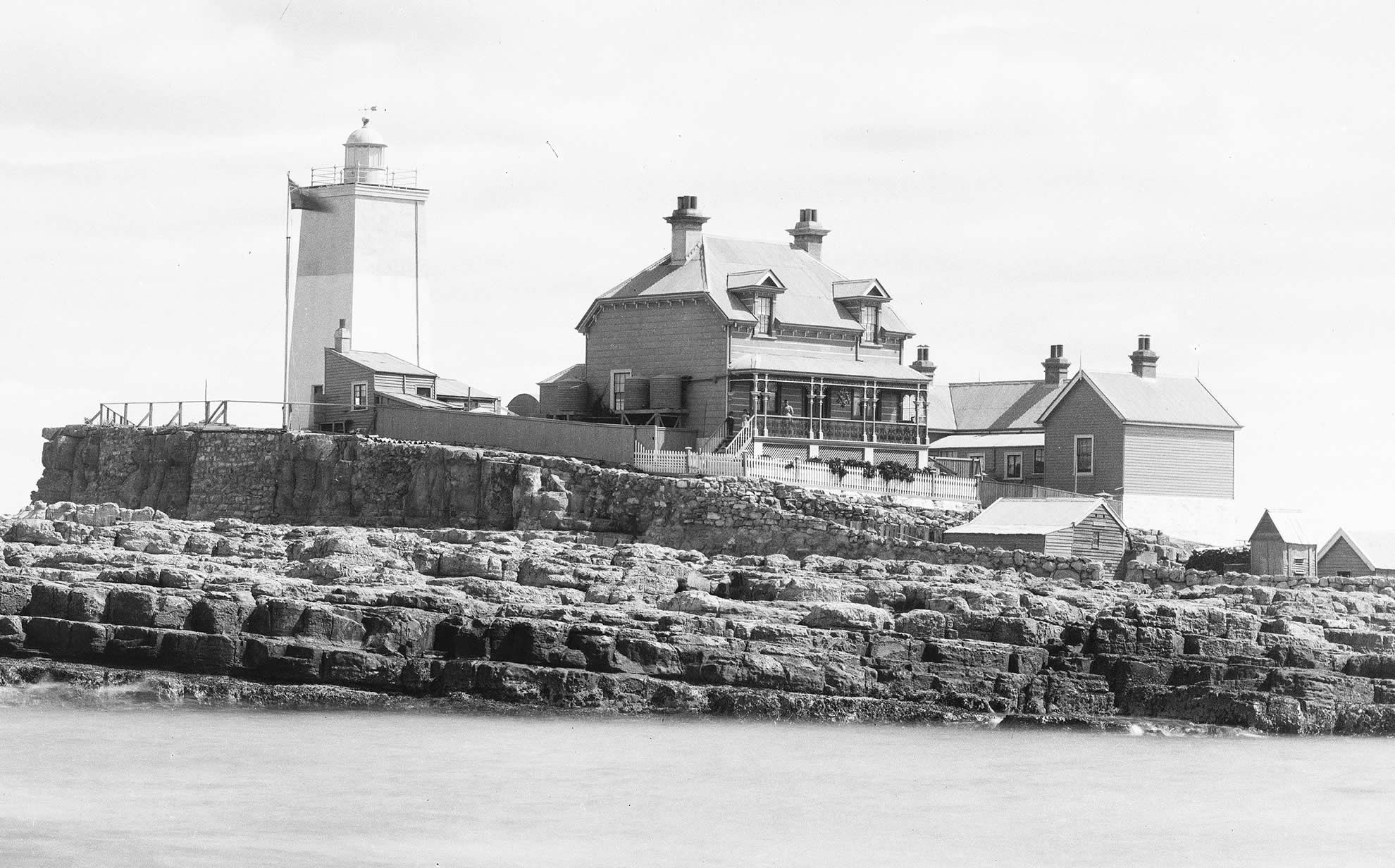
Iron Pot Lighthouse, 1900.
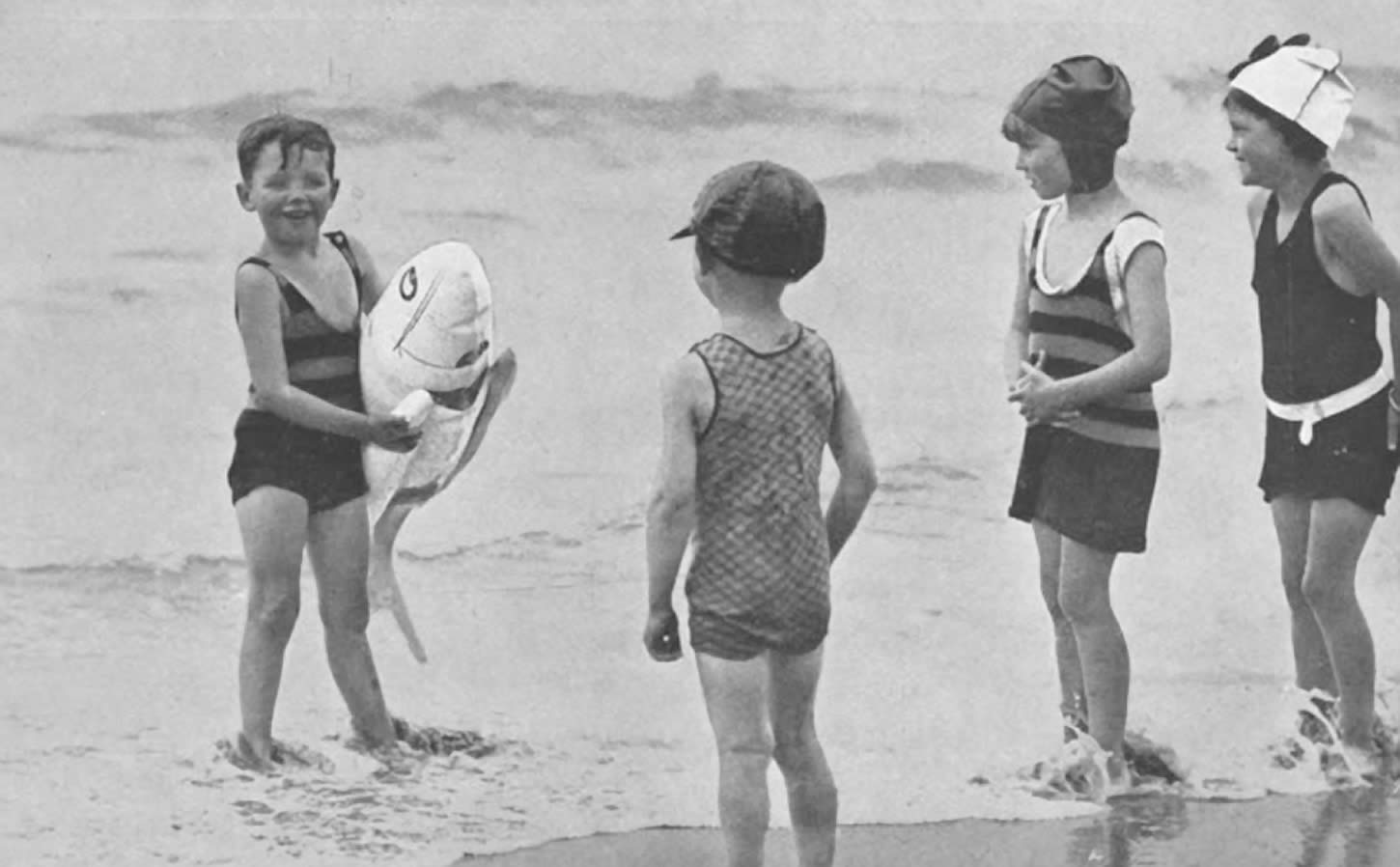
Kingston Beach, 1930.
Image: University of Tasmania Library Special and Rare Materials Collection
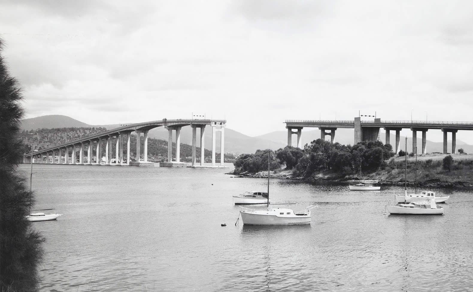
View of the Tasman Bridge from Kalatie Road Montagu Bay looking toward the Powder Jetty over Cuthbertson’s Boat shed (1975).