Greater Hobart Trails website launched
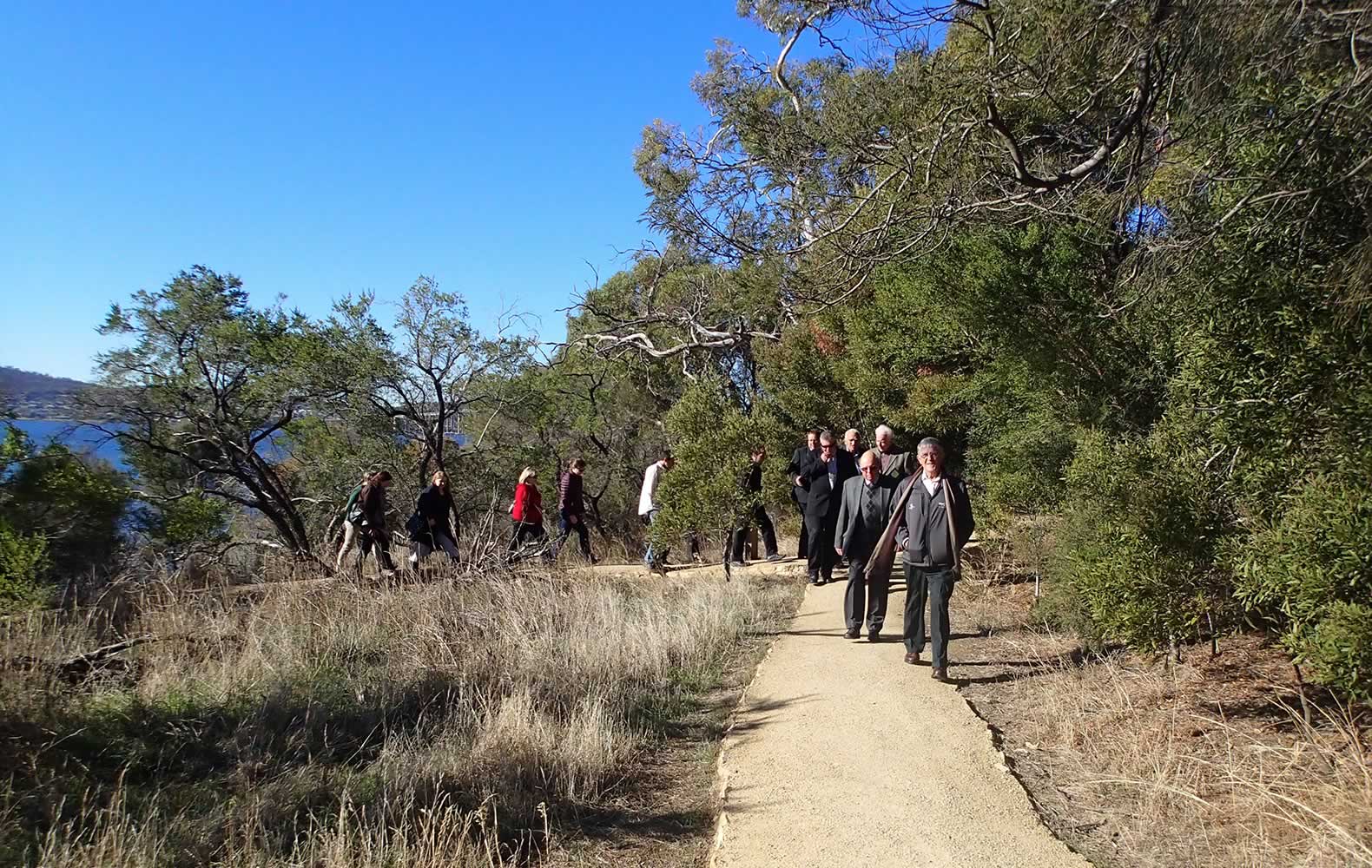
Taking a stroll after the official launch ceremony for Greater Hobart Trails.
Image: Derwent Estuary Program
Locals and visitors to southern Tasmania can now find scores of walking, cycling and horse riding trails under the one online banner.
The Greater Hobart Trails website, officially launched today, provides links and information on 77 trails ranging from the Derwent Valley through to Kingston, south of Hobart.
Minister for Environment, Parks and Heritage Brian Wightman today joined the Chair of the Southern Tasmanian Councils Association and Lord Mayor of Hobart Alderman Damon Thomas to officially launch the new website at the site of the upgraded Cornelian Bay trail in Hobart.
Ald. Thomas said the trails on the website cover six local government municipalities in Greater Hobart – Hobart, Kingborough, Derwent Valley, Glenorchy, Clarence and Brighton.
“With the touch of a keyboard, this new website makes it easier to find out what trails exist and where they sit within the Greater Hobart region – from easy walks for the whole family to more challenging tracks for the experienced bushwalker,” Ald. Thomas said.
Mr Wightman said the State Government remains supportive of ongoing track development in the state.
“A wide range of projects have been funded through the Trails and Bikeways Program, including many that can now be found on the Greater Hobart Trails website,” Mr Wightman said.
The website was an initiative of the Derwent Estuary Program (DEP), in cooperation with local and state government.
Director of the DEP Christine Coughanowr said the website is designed to be used in a number of ways.
“The site includes an interactive map for those interested in finding a walk in their local area. Those with limited time can choose a walk based on its duration, while search options can also cater for people looking for walks with dogs, prams, wheelchairs, bicycles, mountain bikes or horses,” Ms Coughanowr said.
Each trail listed on the website includes a map, description, photo gallery, difficulty rating, potential hazards, suitability and duration.
Ms Coughanowr said another key feature is weather information, as each track has real time weather from the closest weather station – directly provided by the Bureau of Meteorology.
“A PDF map can also be downloaded from the site and when updates are made to the trail details, they are also reflected in the PDF brochure, which saves on hard copy print runs.”
The website has been funded by the Derwent Estuary Program partnership with additional funding provided by Hobart City Council, Kingborough Council and Derwent Valley Council.
Mr Wightman highlighted the partnership between state and local government to actively provide tracks for the community as safe places to walk or ride a bike and to encourage people to commute to work.
“The trails also improve access to green space, which is so important for our health and well-being and they are a great way to explore diverse plant and wildlife communities, interesting geographical features and historic sites,” Mr Wightman said.
Ald. Thomas said the new website takes in some of southern Tasmania’s most stunning scenery.
“The trails cover a diverse range of environments from coastal beaches and bushland to hilltop vistas and rural scenes,” Ald. Thomas said.
For more information, please contact us.
Monday 6 May 2013